Best for
- Complex lawns
- Steep slopes
- Around 2,000 m2
SpecsLib adapts language, currency and estimated prices to your context.
Language
Country and currency
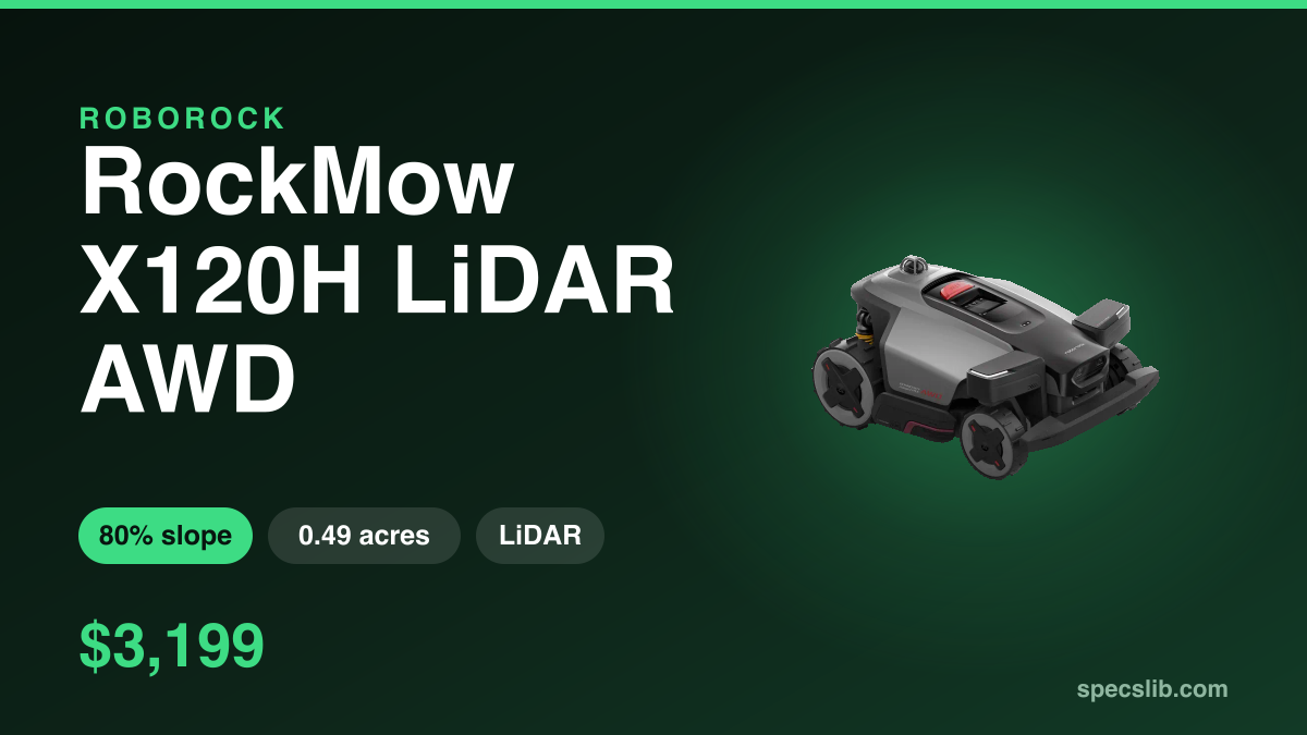
RockMow Z120 LiDAR combines LiDAR, 4WD, 24 cm cutting width and advanced app features for around 2,000 m2.
Specs verified on
Not sold in the United States
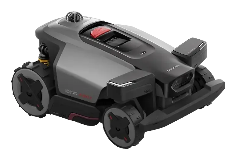
A formidable machine for slopes and complex terrain, held back by a young app experience.
These indicators are computed by SpecsLib from official manufacturer specs. They do not appear as such in any brand's documentation.
Square feet covered per euro spent. The higher the ratio, the better the area-to-price value.
SpecsLib estimate (max area ÷ runtime), not published by the manufacturer: actual mowing time includes mapping, obstacle avoidance and recharging, so this figure likely overstates real-world throughput.
Normalised score based on the declared maximum slope (80%). 100 = mechanical limit, 0 = flat ground.
Underlined terms open a plain-language explanation of navigation, detection and ecosystem technologies.
| Recommended area | 0.49 acres (21,528 sq ft) |
|---|---|
| Claimed daily capacity | 0.49 acres (21,528 sq ft) |
| Launch year | 2026 |
| Maximum slope | 80 % |
| Cutting height | 20-70 mm |
| Cutting width | 9.4 inches |
| Cutting system | 6 cutting blades + floating cutting deckCutting systemBlade or deck type used to cut the grass. + optional 3 cm edge cuttingEdge cuttingHow close to a wall or an edge the mower cuts, measured in centimetres of grass left. |
| Drive system | All-wheel driveAWD (all-wheel drive)Every wheel drives (usually four, occasionally three depending on the model), which helps on slopes, soft ground and wet grass. |
| Battery | 6 Ah / 129.6 Wh / 21.6 V |
| Replaceable battery | No |
| Charge time | 70 min |
| Runtime per charge | 140 min |
| Dimensions | 26.0 x 18.7 x 11.6 inches |
| Navigation | LiDARLiDARLaser distance sensing used for mapping and detection. + Vision |
| Perimeter-wire free | Yes |
| Obstacle avoidance | SentisphereSentisphereRoborock's name for its multi-sensor garden navigation. LiDARLiDARLaser distance sensing used for mapping and detection. + Vision-LiDARLiDARLaser distance sensing used for mapping and detection. Fusion |
| Connectivity | App + Wi-Fi + Bluetooth + 4G |
| Boundary setup | AI-powered mappingMappingBuilding the map of the garden the mower uses to plan its passes. with LiDARLiDARLaser distance sensing used for mapping and detection. |
| Mowing modes | Zone + Multi-zone + Pattern + Custom pattern + Wildlife-friendly schedule + Edge |
| Remote camera view | No |
| Patrol mode | No |
| Human detection | Yes |
| Two-way audio | No |
| Anti-theft / tracking | Lift alert + Geofence alerts + PIN lock + 4G tracking + Third-party tracker compatible |
| Blade change | No |
| Rain sensor | Yes |
| Water protection | IPX6IPX ratingWater-resistance rating, not a blanket immersion guarantee. |
| Weight | 47.0 lbs |
| Multi-zone management | Yes, count not published |
| Edge distance | 1.2 inches |
| Obstacle crossing | 3.1 inches |
| Minimum passage | 31.5 inches |
| Warranty | 3 years |
What the brand promises, what independent tests actually found, and the limit to plan around.
An edge module brings the cut to around 3 cm from the boundary.
Senses measured roughly 3 cm with the module against roughly 10 cm without it: the function does what it says. Two reservations. The module was sold separately, 1,799 SEK at the time of the test, and once fitted it drops obstacle clearance from 8 cm to 5 cm and reduces agility.
Depending on the version the module ships with the mower or is bought separately: the 3 cm figure assumes it is there. The same test found software still under construction, mowing patterns pushed back, and passages between zones needing close to a metre.
The RockMow Z120 LiDAR stands out as a formidable machine on difficult terrain, though its software still requires maturity. CHIP, Connect, and inside digital unanimously praise its excellent traction (AWD, active steering) which allows it to handle slopes up to 80% and complex gardens without damaging the turf. The LiDAR navigation and eSIM connectivity prove highly reliable. However, all three outlets note software weaknesses: CHIP points out the strictly manual mapping and the lack of a live video feed, while Connect and inside digital highlight an imperfect app and note that the edge cutting module is an optional extra sold separately.
What public reviews and owner feedback most often praise.
Consolidated watchouts identified by SpecsLib to help evaluate fit for your lawn and budget.
Our summary of each published test, with the link to read it.
It is designed to mow up to 0.49 acres (21,528 sq ft).
This model can handle slopes up to 80%.
No, this model operates without a wire (virtual navigation).
According to the SpecsLib calculation, the Roborock RockMow Z120 LiDAR delivers 8 sq ft/€. Square feet covered per euro spent. The higher the ratio, the better the area-to-price value.
SpecsLib computes a mowing density of 9,226 sq ft/hr for this model. SpecsLib estimate (max area ÷ runtime), not published by the manufacturer: actual mowing time includes mapping, obstacle avoidance and recharging, so this figure likely overstates real-world throughput.
SpecsLib assigns a slope score of 80/100 (Exceptional) to the Roborock RockMow Z120 LiDAR. Normalised score based on the declared maximum slope (80%). 100 = mechanical limit, 0 = flat ground.
This model is not sold in your market. These mowers from the same brand are.

The US version of Roborock's rugged platform: 3D LiDAR with no RTK and no satellites, AWD, 80% slope, about 0.49 acre.

RockMow Z115 is a RockMow Z1 variant built for around 1,500 m2, with Sentisphere navigation and AI-powered mapping.

RockNeo Q110 is a RockNeo Q1 variant built for around 1,000 m2, with Sentisphere navigation and AI-powered mapping.
Cross-checked testing and news that cover this exact mower.
Latest verification of official and technical sources.